


By Tom Troester – Ohio Canal Society (Trustee)
There was much debate on where and which side of the river the canal should be placed. As the Ohio and Erie Canal traversed south it passed over the Licking Summit and on towards the Ohio River. This was on the east side of the Scioto River and would be tucked tight against the hills forming the Scioto Valley if it stayed on the east side. The broader 2/3 of the fertile Scioto Valley lay on the west side of the river, Chillicothe being an important town wanted the canal on the west side of the river to pass through the town. This left a debate as to where the canal would cross the Scioto River and pass to the west side of the Scioto River.
Every city close to the canal wanted the canal to pass close or through their town, so they could share in the commerce created by the canal. Three routes were suggested for the crossing, one Keffers Point was just south of Darby Creek, the most north of the three routes. The Circleville point, the middle route was at the site of Neville’s Dam, (Scioto Quarterly) a private dam built to supply water to Neville’s flour and log mill. This site was closer to the center of Circleville where highway 22 crosses the Scioto River. The third crossing of the Scioto River was proposed south of Yellowbud. The original proposal suggested using a slack water crossing to be the most cost-effective of the choices.
Advertisement - Story continues below
Request advertising info. View All.
Slack water crossings involve a damming of the river to raise the water level to the height of the canal. It requires that the river or stream be deep enough and have high banks on both sides for enough water throughout the summer and fall months to maintain that level. A tow bridge for the mules or horses would have to be built to the transit of the river, stream or creek by the animals and drivers. This could also be used to traverse along part of a river if a large enough dam could be built to hold the water back and the current in the slack water portion is not too swift. A towpath would also have to be constructed along that stretch of river to accommodate the team towing the canal boat.
As the canal drew nearer, it was decided that a slack water dam was not feasible because the flow of the Scioto River varied too greatly throughout the seasons.
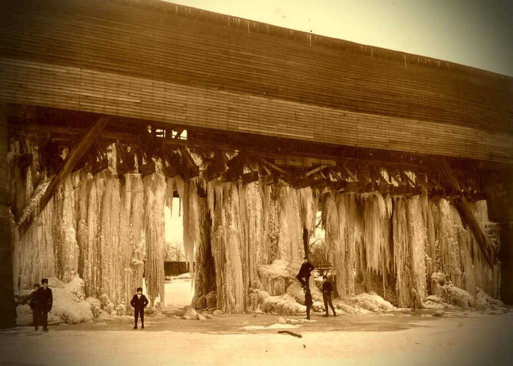
The residents of Circleville wanted the canal to travel close to the city, and they pledged $3,500 to have it cross at the Circleville point. The choice being the most expensive of the three choices, but with the additional money, that Circleville pledged, it was chosen. In the end, the citizens of Circleville did not have to pay the pledged monies, the state picked up the entire amount of the Aqueduct (Scioto Quarterly).
Circleville was an economic winner in the placement of the canal. The more direct and northern route would have had the Ohio and Erie Canal pass over the Scioto river at Keffers Point, and the southern crossing would have been at Yellowbud. The placement of the canal was Yellowbud’s loss, for Yellowbud would have been as big as Circleville, and Circleville would have been much smaller.
“The completion of the canal gave great incentive to the prosperity of Circleville. It had its Canal Street where businesses and industry sprang up facing the canal. Grain and flour mills, a tannery, a foundry, a cooperage shop and two pork-packing houses became new business ventures. Products to sell, a means of transportation and a market for the farmers put `real money’ into circulation.” The aqueduct served its purpose well.” (Scioto Quarterly)
‘As the result of the construction of the canal, the ‘average value of land in Pickaway-county increased from $3.87 per acre in 1828 to $26.33 in 1853. The real estate of the entire county increased 8 fold, from $1,144,040 in that same period. In Ohio the total valuation increased almost 19 times from $7,305,773 in 1826 to $137,092,495 in 1853. (The Herald, Did You Know, Feb. 11, 1933)